
We are always seeking out new hikes, trying to find trails or destinations we haven’t yet been or seen. In October 2019, we ventured to Lundy Canyon for the first time, as we heard it has good fall colors. That was our only experience there until today.
We jumped in the Jeep and headed south on Hwy 395 until it intersects with Lundy Lake Road. After traveling several miles, we reached the spur for Lundy Dam Road, which is generally where the trailhead is located.
Very soon on Lundy Dam Road, we saw a line of cars parked, and they were a ways out from the trailhead.

We also saw signs: “Flooded” and “Road Closed Ahead.”

Admittedly, this wasn’t entirely unexpected. Before we decided on this day’s hike, we read some of the recent online reviews warning that you couldn’t drive all the way in to where the trailhead starts. At the time, we weren’t 100% certain what that meant or how bad the road was. Well, let’s just say we soon found out and understood why other hikers were unable to make it any farther down the road via car.

It turns out, the washout from the flooding was substantial, thus, we continued walking down the gravel road towards the official trailhead at the dam.


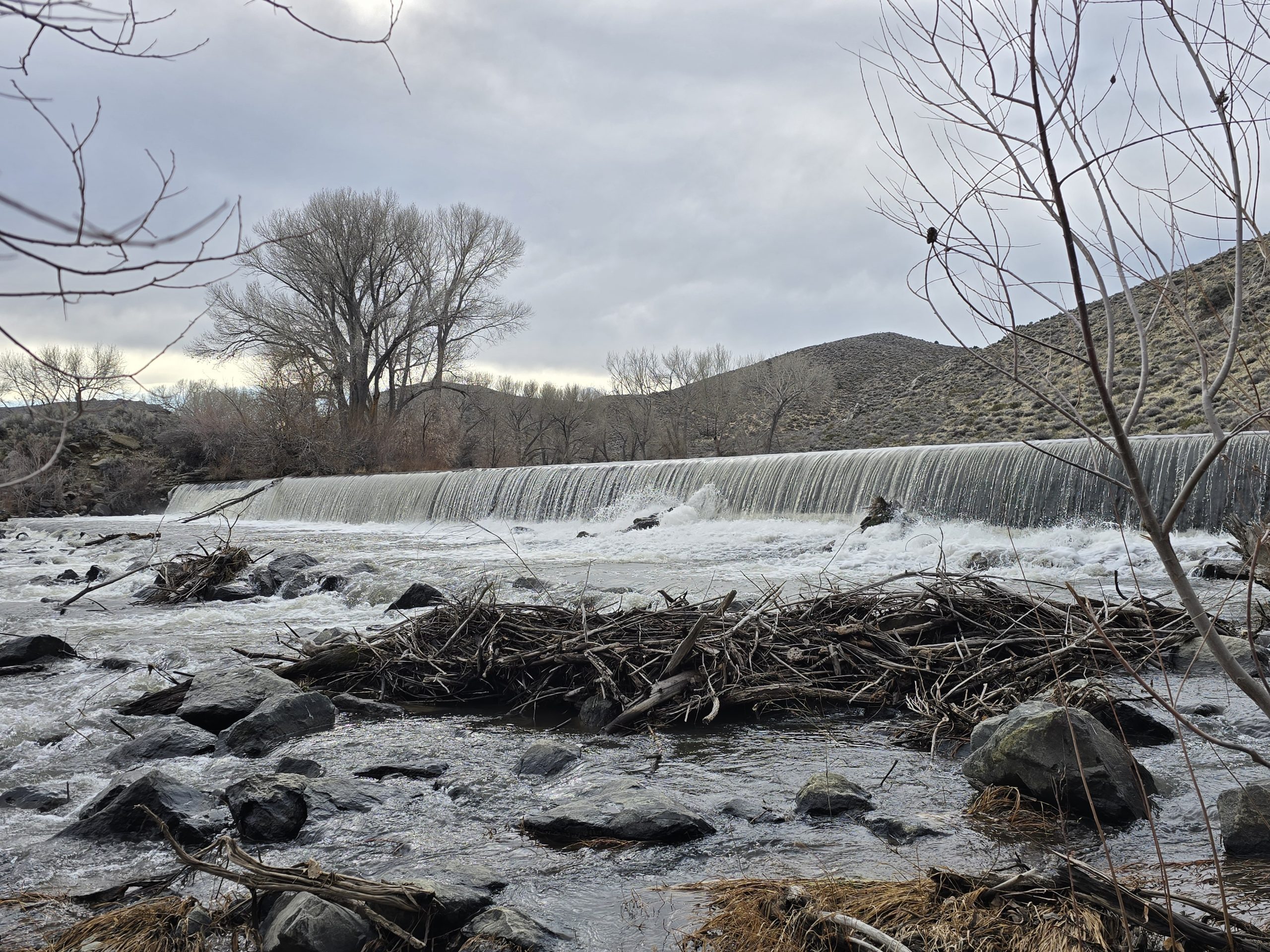
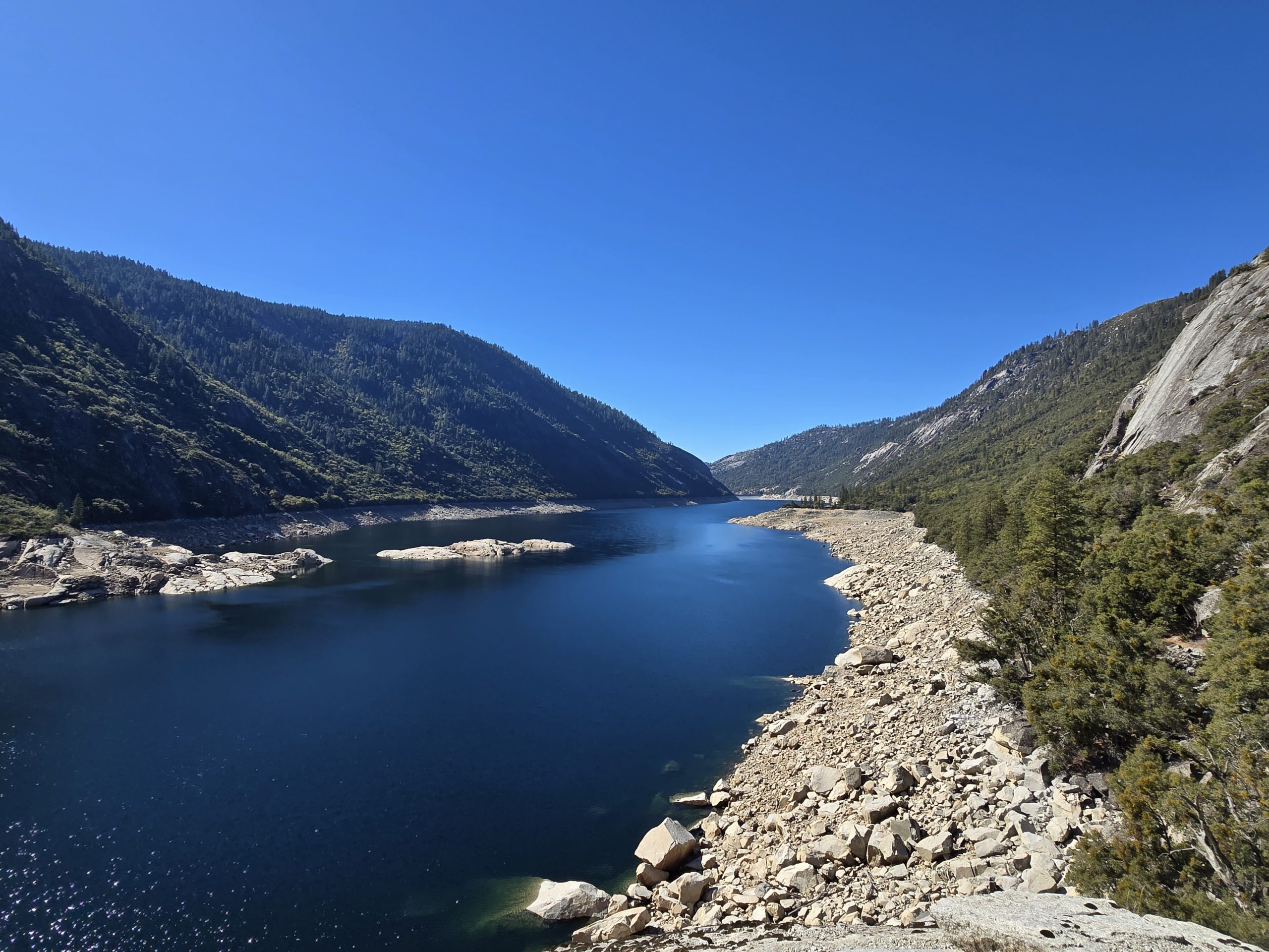
The level of Lundy Lake was quite high, with shoreline trees up to their bellies in the lake.


The beginning section of the trail parallels the lake and was fairly flat, green, and lined with a tangle of aspens. But soon after, the fun began.
And by “fun,” I mean climbing. Lots and lots of climbing. (And wet feet, but more about that in a minute.)
Because the WILDFLOWERS. Oh, my goodness, were they colorful and plentiful along this trail. And about every 10 feet, we’d see a sphinx moth flitting around from flower to flower. What an amazing year for wildflowers in the Sierra!


Needless to say, the necessary exertion from climbing was somewhat abated due to the added beauty of the flowers and the canyon scenery in general. Just beyond the peaks, out of view, in the photo below lies Saddlebag Lake, a beautiful loop hike we did in 2022.

Then, we suddenly went from a very dry trail to a very wet trail. The trail literally became a running creek.


Sierra tiger lily.

More wildflowers and our creek trail.


This is seriously the trail.
We found the running creek culprit! A remaining pile of snow.

To the left of the trail in this spot was even a small, shallow pool of water. Just crazy how much water was on this trail, especially this time of year.

By this time, our feet were pretty soaked. And just as abruptly as the creek trail started, it went back to dry, rocky, and dusty. But the views were amazing.

We were busy continuing our ascent on this rocky trail, enjoying the sights, and as we rounded a bend, I could hear water rushing and I wondered what we were coming to.
Then I spotted this voluminous cascade unabashedly cutting its way through the forested valley below.
Such an awesome mountainside cascade.

We were treated to yet more wildflowers along the trail – Indian paintbrush.


Did I mention this trail was rocky? We were actually hiking on the former mining road to May Lundy mine, where gold mining began in 1880. I can’t imagine driving/riding on this road with old mining equipment and vehicles.

Not only did the ever-ascending trail turn to a running creek a few more times, but we also spotted some substantial piles of remaining snow. So, it’s no wonder the trail was still so wet.


Then we reached a crossing of the big cascade. We were wondering if we’d have to traipse through the water, just after our shoes were getting dry. Thankfully, we had some stepping stones and earth to get us across without getting too wet.
This flowage is part of the big mountainside cascade.


We continued our climb, and the trail continued to be rocky.

Then I came across my first (presumable) crime scene while on a hike.
This is a bone fragment.

This appears to be blood.

Pretty intense crime scene, wouldn’t you agree?

After we trudged through some more saturated trail, we happened upon this lush, green meadow with a bunch of wild iris in bloom. Just beautiful.

Then, we happened upon the motherlode. And yes, my husband is standing directly in the creek trail because, who cares, your shoes are already drenched.

After miles of non-stop ascending, we now had to navigate through this snow field, with its remnants of this winter’s avalanche carcasses half-standing and strewn about.


In fact, according to one of the interpretive signs along the trail, this area is historically notorious for its brutal winters and avalanches:
“For much of its history, winter weather hampered operations at the May Lundy mine by making the work season short and producing avalanches that repeatedly damaged tramways and buildings.”
Being that we were unable to follow a defined trail through the snow field, we inevitably lost the trail and ended up traversing up and over some “backcountry” trees and boulders to eventually rejoin the trail, but we made it. This wilderness sign looks like it, too, took a beating this winter.

After we got back on track, which always makes me happy, we encountered yet more water crossings. And just when our shoes were starting to dry out! This wooden plank “bridge” didn’t survive the winter, either. We tried to carefully cross, but got our feet wet nonetheless.

Then we crested an overlook of some of the old May Lundy mine and mills. You can spot remnants of aged mining equipment and a stone foundation from the first mill constructed in 1908 amongst the rocks down below.

Then another water crossing. Definitely got wet on this one.

Mining cart rails.


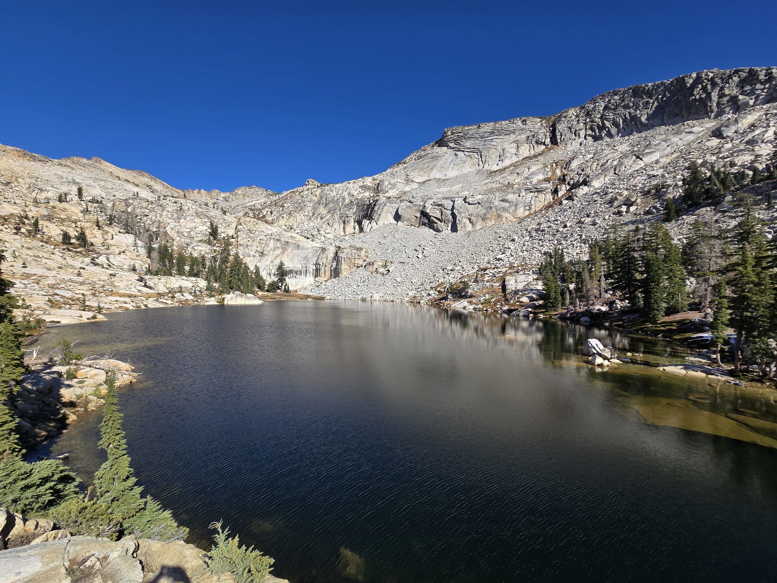
Then, after some final bushwhacking, we finally made it to Oneida Lake.


We sat on boulders along the shore and had some snacks before we turned around and began the rocky, (wet) descent.

To give you an idea about how wet my husband’s shoes were by the time we reached the lake, he figured he’d fully walk into the lake because getting them wetter didn’t matter at that point.

Here’s the impressive dam built at Oneida Lake.

Then we made our way back down. The scenery was still just as beautiful as on the way up. And the trail just as rocky.


And no less wet.
And we thought the crazy creek crossing we encountered on our hike to Sardine Falls was the wettest hike we’d ever done. This hike to Oneida Lake definitely topped that in terms of percentage of the overall hike that was under water!
Despite the line of cars parked along the road at the start, and aside from some people fishing Lundy Lake, we hardly saw any other hikers on the trail – maybe a total of four people, which was just fine with us! We got the amazing wildflowers, creeks, waterfalls, and lake practically all to ourselves on this magnificent day in the Sierra!

| Oneida Lake | |
|---|---|
| Total Distance | 7.81 mi |
| Total Time | 4:24:01 |
| Total Ascent | 1,824 ft |
| Max Elevation | 9,478 ft |
Leave a Reply